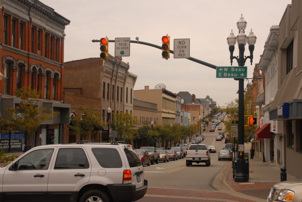
With SmartMoves Connections, SPC presents a new approach to regional transit planning—one based on locating the Transit Supportive Land Uses already present in our region. Using a Machine Learning analysis of aerial photography and travel data, SmartMoves Connections maps the clusters of land with multimodal potential. These are put into six categories where Multimodal Hubs and Multimodal Corridors could be good mobility options.
A Multimodal Hub is a facility where mobility services can connect together—such as Park-and-Ride, bike lockers, scooter-share or paratransit—along with public transit service. These Hubs allow seamless connections between the parts of a person’s trip and enable new kinds of trips, even across county borders or on multiple transit services.
Read more »

